Softwareentwicklung Heinz Lüdert
Version 4.1, now with Google Earth Interface!
Flight Route
PreFlight 4.1 exports your planned route as kml-file, suitable to display your route in Google Earth.
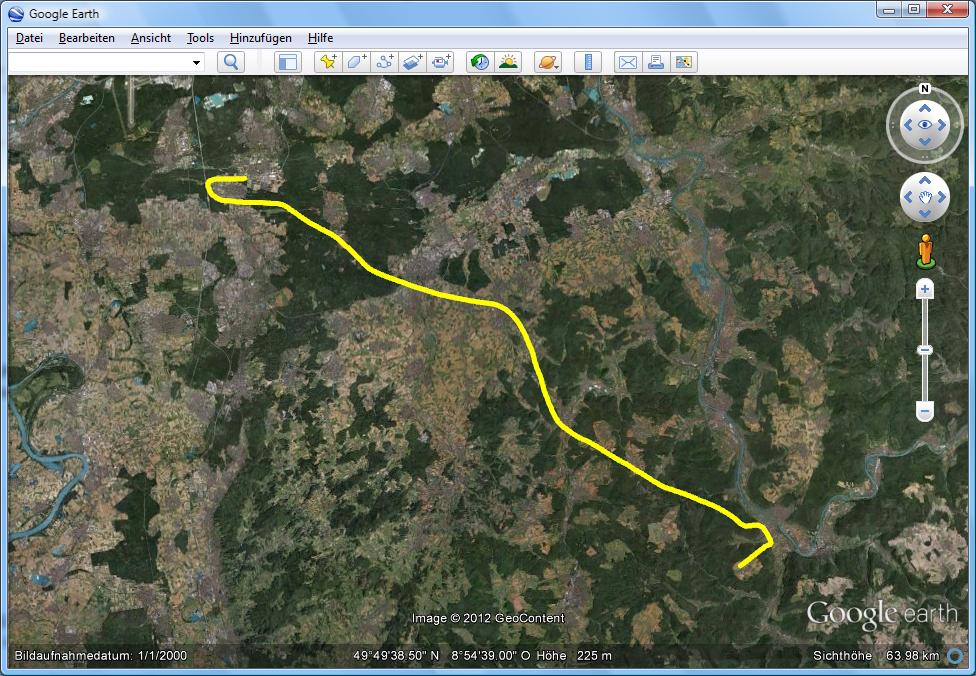
Recorded Track
PreFlight 4.1 exports your recorded track as kml-file, suitable to display your track in Google Earth.
Importing Maps
PreFlight 4.1 is now able to import and calibrate more different versions of 256 color BMP files. It no longer changes the colors.
Graphic Preferences
The colour and the line width, you may change in the "scanned map" section of the "Graphic Preference" Dialog will also be used in Google Earth.
Calculation Preferences
The maximum date allowed to calculate the sunset time, displayed in the flight execution plan, is now Dec, 31st 2037.